Raytown Historical Society - Aerial Photos and Maps
- Title
- Raytown Historical Society - Aerial Photos and Maps
- Is Part Of
-
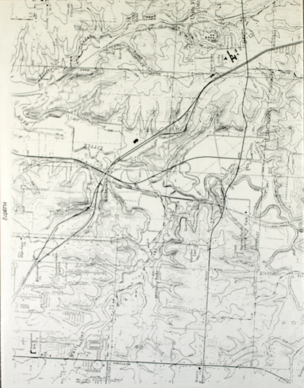
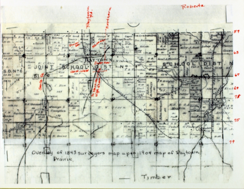
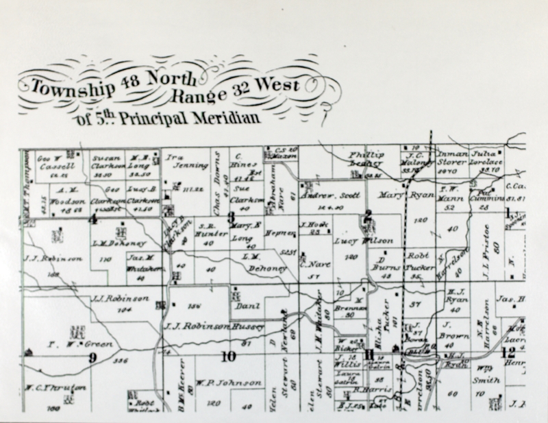
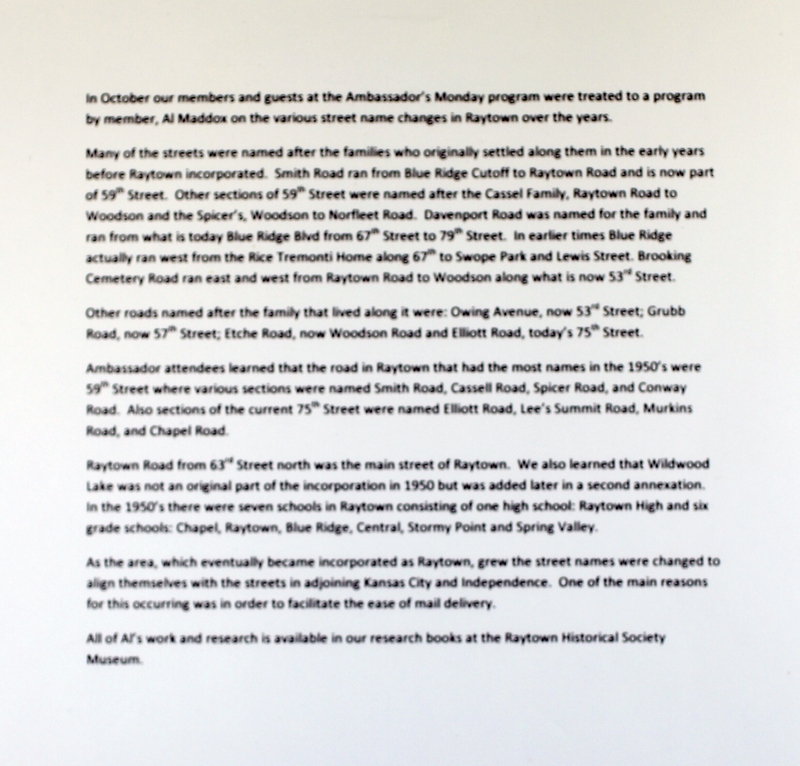
 Raytown Historical Society Collection
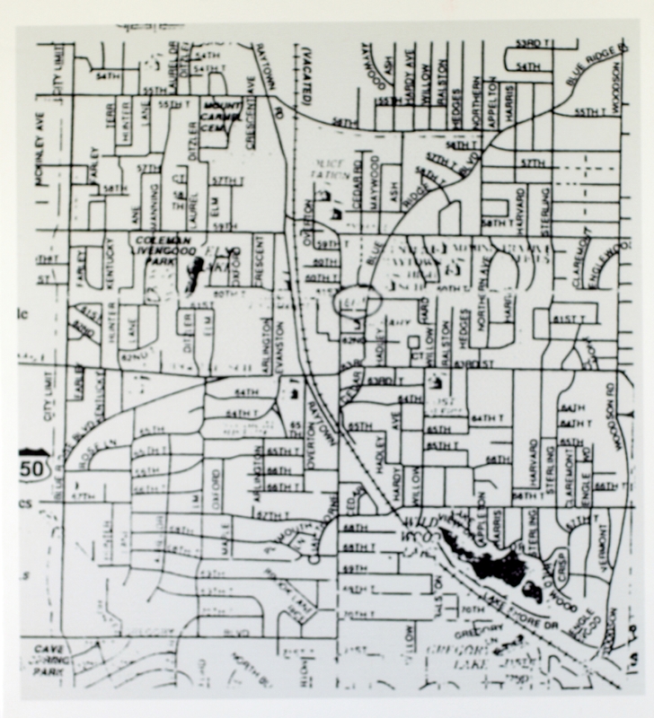
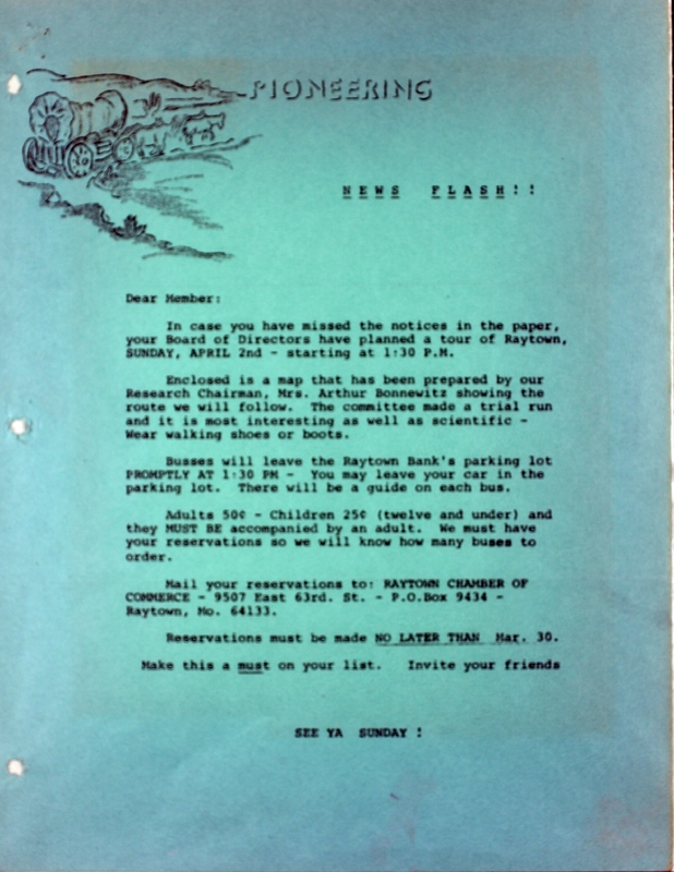
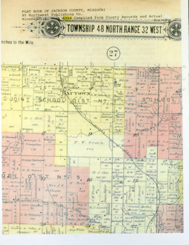
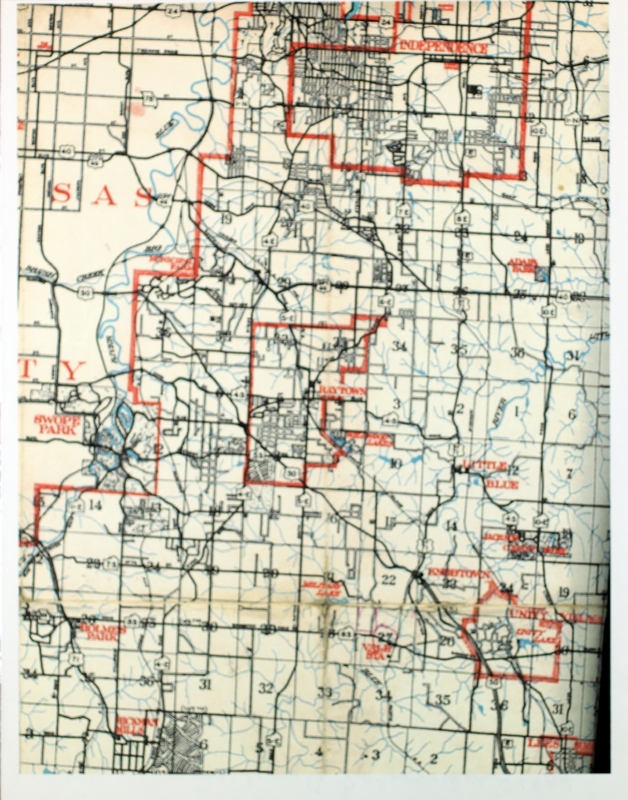
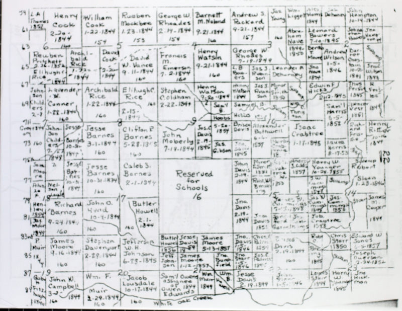
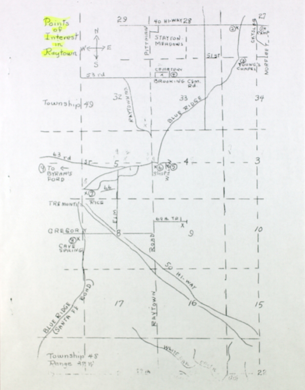
 Raytown Historical Society Collection
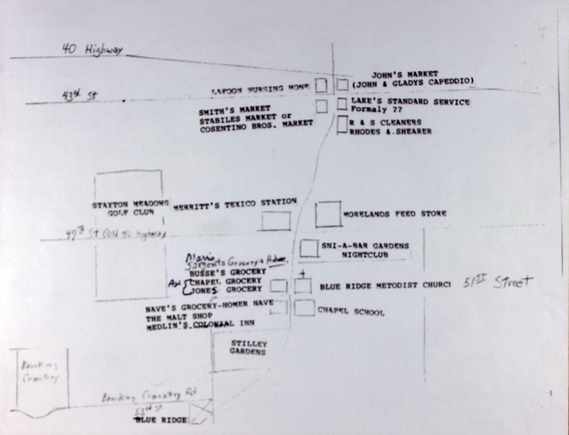
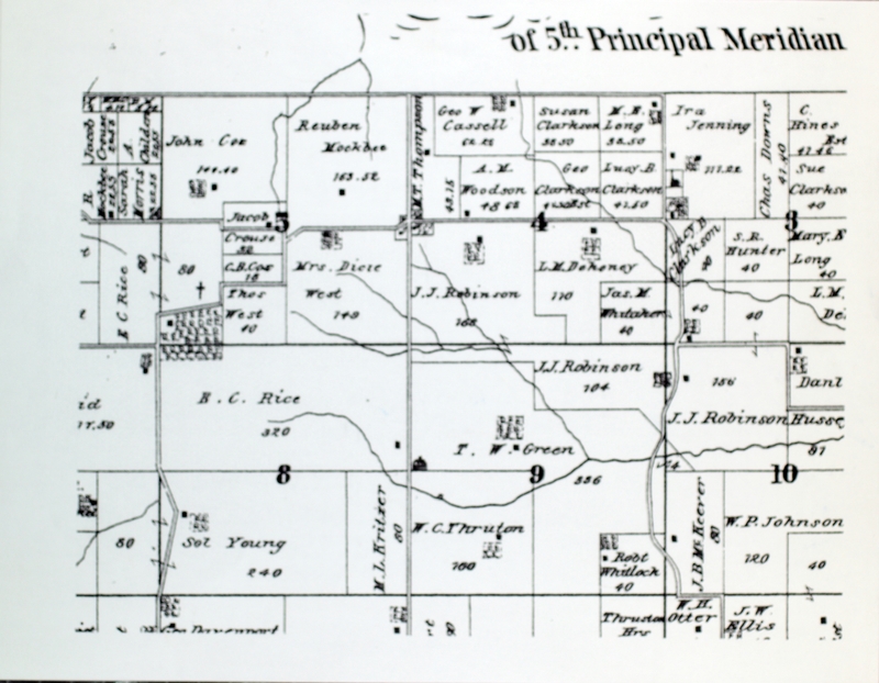
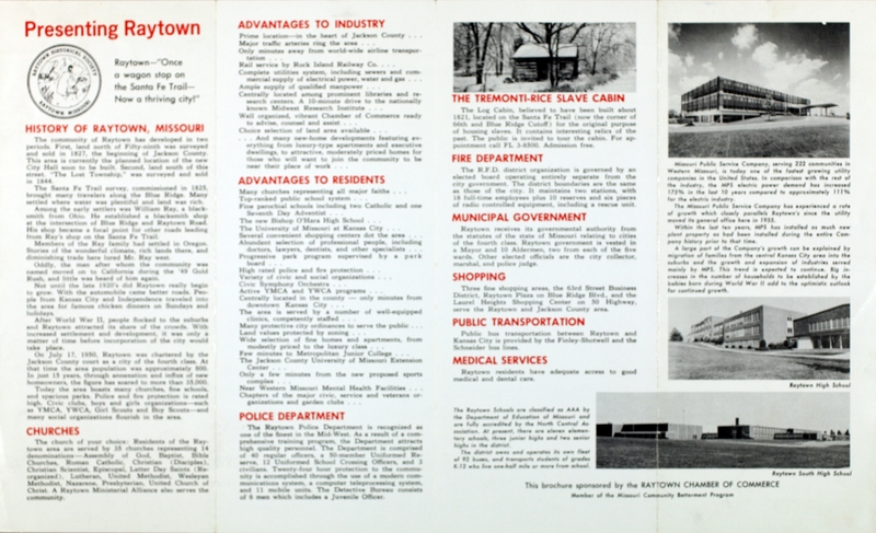